To me, it seems that this is the first, or opening phase of a really good idea that provides a ton of value without needing a ton of cash.
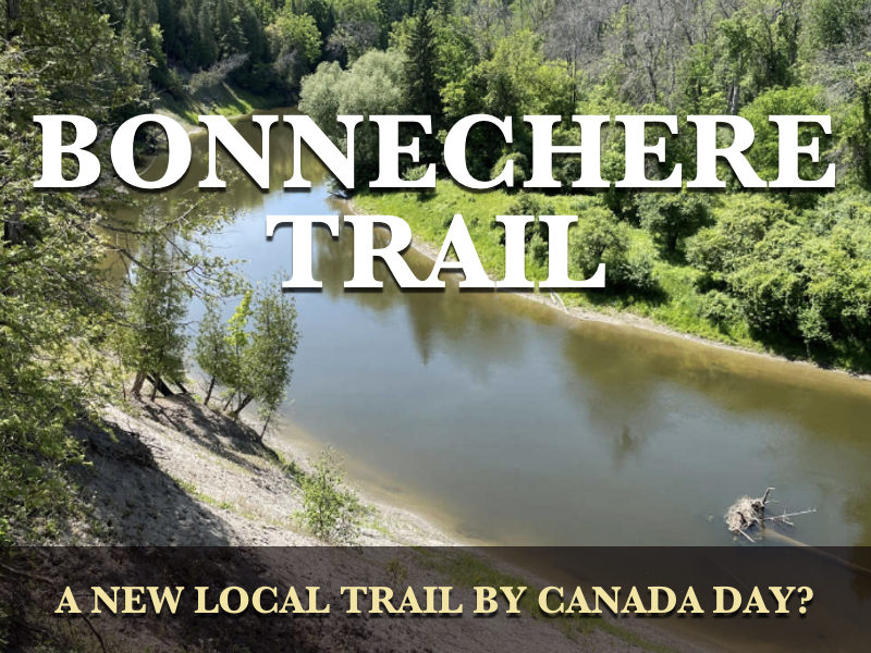
The Bonnechere Trail will be an addition to the trail network here in Renfrew, but with significant differences that separate it from the existing Millennium and Algonquin Trails.
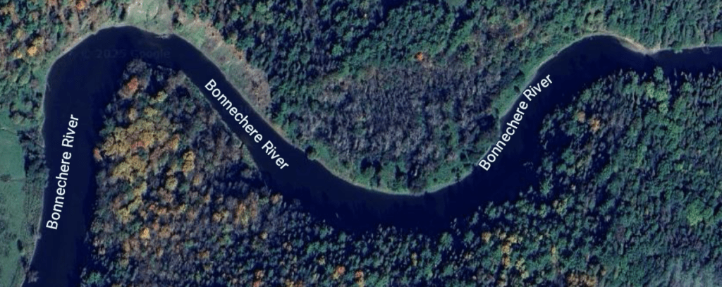
First, it’s not going to be a ready-made former railway bed leftover from the halcyon days of rail here in this part of the County. Second, it will be a more winding trail, less an affair of straight lines that trains love, but more in the way of bends and curves and elevation changes.
And third, it will be people-only. Not to people on snow machines, or people on four wheelers, or people on bicycles or dirt bikes. It will people-only in the sense that it will accommodate foot traffic only.
This is awesome, with no intent to offend owners of all those fine conveyances and vehicles aforementioned. But those folks have all kinds of trails and places where they can helter-skelter around on their amazing machines, pedestrians be damned. This trail is for everyone who might be looking to combine walking, maybe even running, while enjoying nature along a winding riverbank, and without fear of being mowed down by some clown on a machine with no care or consideration for anyone other than he or herself. And such morons exist. In fact, they’re seemingly everywhere.
I have no doubts that these types will make the odd dash along this new trail, regardless of season, but that’s a matter of enforcement, and not one of concept.
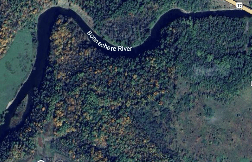
As currently planned, the Bonnechere Trail will extend from the Bonnechere River at its Highway 17 point to a place very near to the Hunter’s Gate development area, close to Forestview Crescent. Right now, the plan calls for a trail some 1.6 km in length, give or take a rock throw, and definitely not as the crow is inclined to fly.
As mentioned, it will feature differences in elevation, and along its route will be positioned features such as lookouts, picnic areas, and park benches. In short, on this trail, people will be encouraged to stop along the way at some of these spots to relax, reflect, wonder at nature both flora and fauna, or just take a break and catch one’s breath.
It’s location is such that it could easily be missed, even by locals, if they didn’t know that it existed in the first place. Given litter problems on other trails, that might not be such a bad thing, but since this trail doesn’t lead to a school, there’s a reasonably good chance that stuff like that won’t happen, at least to the degree that it happens elsewhere. And as to other undesirables — sorry to label school kids as undesirables, but they kind of are — the trail may represent too much of an effort to conveniently get to, since it’s a bit of trip just to get to the proposed trail heads at either end. So for people like this, let’s just hope their relative apathy, ignorance, and general laziness is too much for them to overcome lest they come up with the notion to go to the trail and screw it up for everyone else.
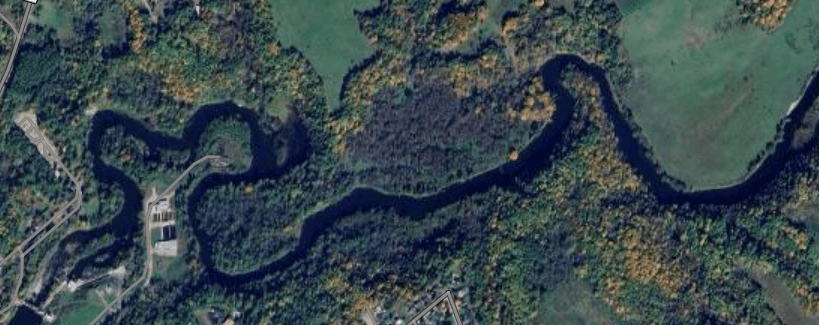
I have to believe that this is just the first phase of trail building in the community, as there’s plenty more river left to the west of Forestview Crescent, and an extension some time in the future linking this proposal with an additional one that extends to the Swinging Bridge, or even Air Force Park would be some inspired thinking, especially if they could marry that idea with the development of Stewart Street-Bridge Street part of town. If done properly, the town is sitting on a goldmine of enlightened opportunity, one that will draw visitors to town with their purses and wallets in tow. But that fanciful thinking is for another time, another article.
A lot of the grunt work will be done in-kind, as in donated by M.J. Enright Tree Services, who have undertaken to perform this work to hack the trail out of the wilderness. Trail maintenance and upkeep will come from town employees and a number of volunteers who sign up to be “friends” of the trail. There’s also the suggestion that donation boxes might be placed along the trail, something that could very well serve as a motivator for the ne’ar-do-wells among us who are looking for lunch money. But the planners are ahead of us on this one, indicating a preference for a QR-code enabled thing that will allow trail-goers the opportunity to support this terrific cause with the banking app on their phone while out bird-watching.
There are a number of potential revenue streams available for this project, including government grants specific to trail-building and citizen health and wellness. But right now, the plan calls for fundraising, donations, and sponsorship opportunities for every blade of grass along the way, since the town has to squeeze a nickel out of every rock to help off-set major capital-project mistakes made in the past. There’s also a firm donation of some $25,000 from the Schad Foundation, but with the caveat that these funds be used for a trail completion in calendar year 2025, as in this year. Should that not transpire, that money is to be returned to the foundation. I guess those Schad folks are in a hurry.
Nevertheless, the town hopes to have the trail ready for a soft launch in June of this year in preparation for a hard launch on Canada Day.
